
NSSFC Plotting Map
NSSFC Plotting Map
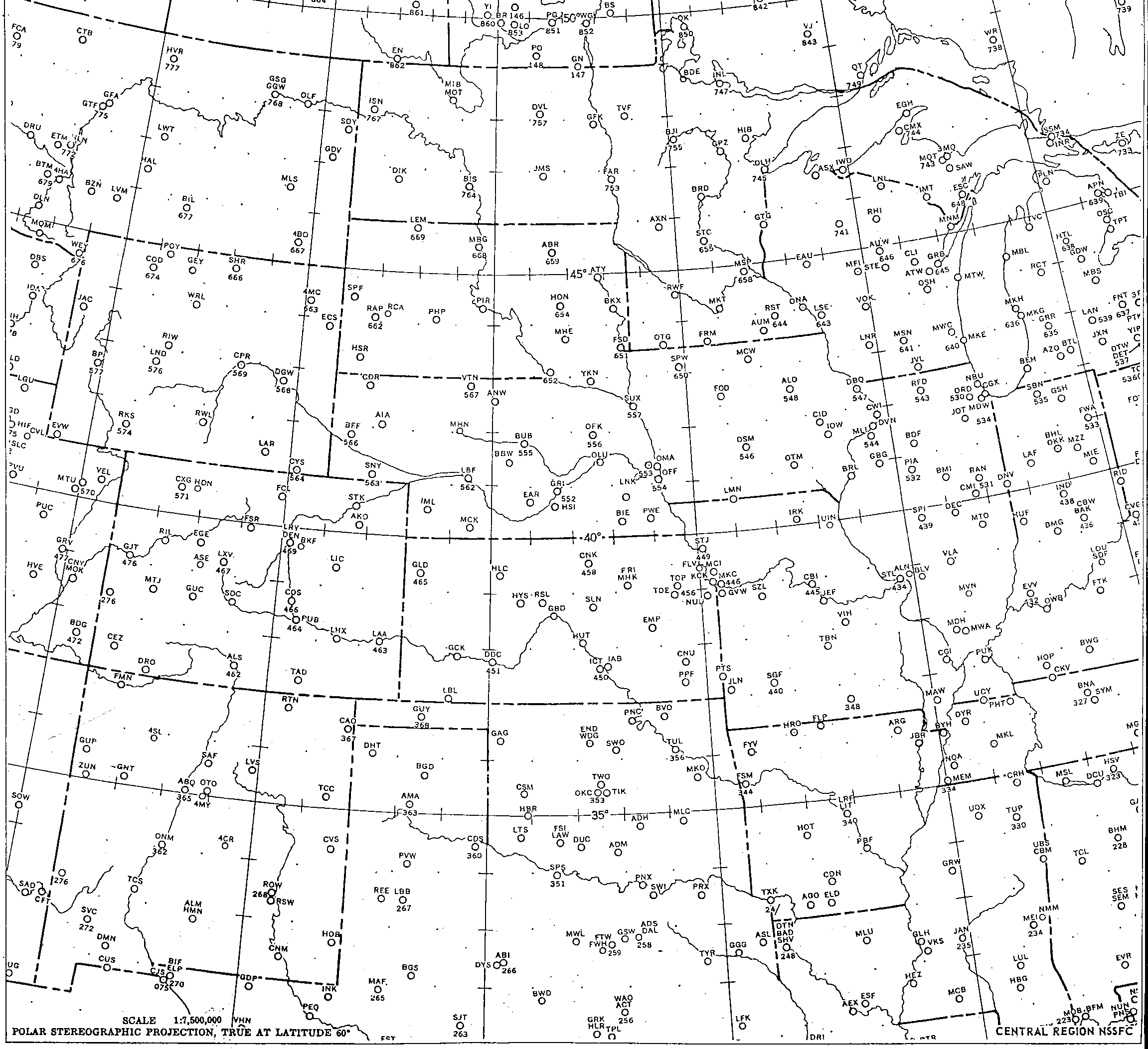
Plot weather observations in the station model format using this legacy National Severe Storms Forecast Center (NSSFC) plotting map. The product is free. Download and print it on paper that is at least 11" x 14", and trim the excess. The final map size is approximately 11" x 11". The map covers the Central Region of the National Weather Service and includes 3-letter station identifiers for select cities.
Map History:
The NSSFC was the forerunner to today's Storm Prediction Center. The National Severe Storms Forecast Center was formed in 1966 from SELS (Severe Local Storms Unit) which was located in Kansas City. It became the Storm Prediction Center in 1995 and was relocated to Norman, Oklahoma.
Hand analyzed maps were in common usage. Today maps are plotted and analyzed by computers, a very efficient process. However, computer analysis can overlook some important features that can only be found by using hand analysis. It is still possible to find hand analyzed maps being used in modern forecast offices. Weather Briefing includes examples and symbols used for station model plotting on the home page.