

Clouds of the Day - Shapes of Altocumulus - Wednesday, November 22, 2023
/I woke up this morning and was welcomed by the sunrise view in the first photo below. The photo shows Altocumulus clouds illuminated by the red glow of the rising Sun. What followed during the day were a series of different varieties of Altocumulus clouds.
These photos reveal several different atmospheric processes. The Altocumulus formed when a layer of relatively warmer (but not warm) air spread over a colder air mass. A layer of unstable air is visible by the lumpy looking clouds. The lumps are plumes of rising air bounded by thin strips of clear skies created by sinking air. We are able to see where the rising air is occurring because of the clouds. The rising air cools it and is causing condensation.
NOTE: clouds may contain both ice crystals and water droplets if the temperature is below freezing. In that case the liquid water is called ‘super-cooled’. Super-cooled water may freeze instantly of it is disturbed.
The degree of instability can be discerned by the depth of the Altocumulus. Thicker Altocumulus occur when the depth of the instability is greater. Thinner Altocumulus occur when the instability depth is shallower.
TO DO: Compare the Altocumulus cloud cells in each photo and between different photos. Individual cloud cells are surrounded by thin ribbons of clear sky or much thinner cloud. The air is rising through each cloud and sinking where the sky is clear. Taller cloud cells are in a layer of deepper instability. The clouds form near the top of the unstable layer layer which has been thoroughly mixed by vertical motions caused by instability. In effect, the layer has been stirred. Broad cloud layers that are smooth are not well-mixed can be home to stratus clouds.

Altocumulus stratiformis (puffy cells with no open sky), Altocumulus undulatus (waves with no open sky), and a ribbon of Altostratus (flat cloud with no open sky) across the bottom of the photo. The stratiformis and undulatus are in continuous cloud layers.
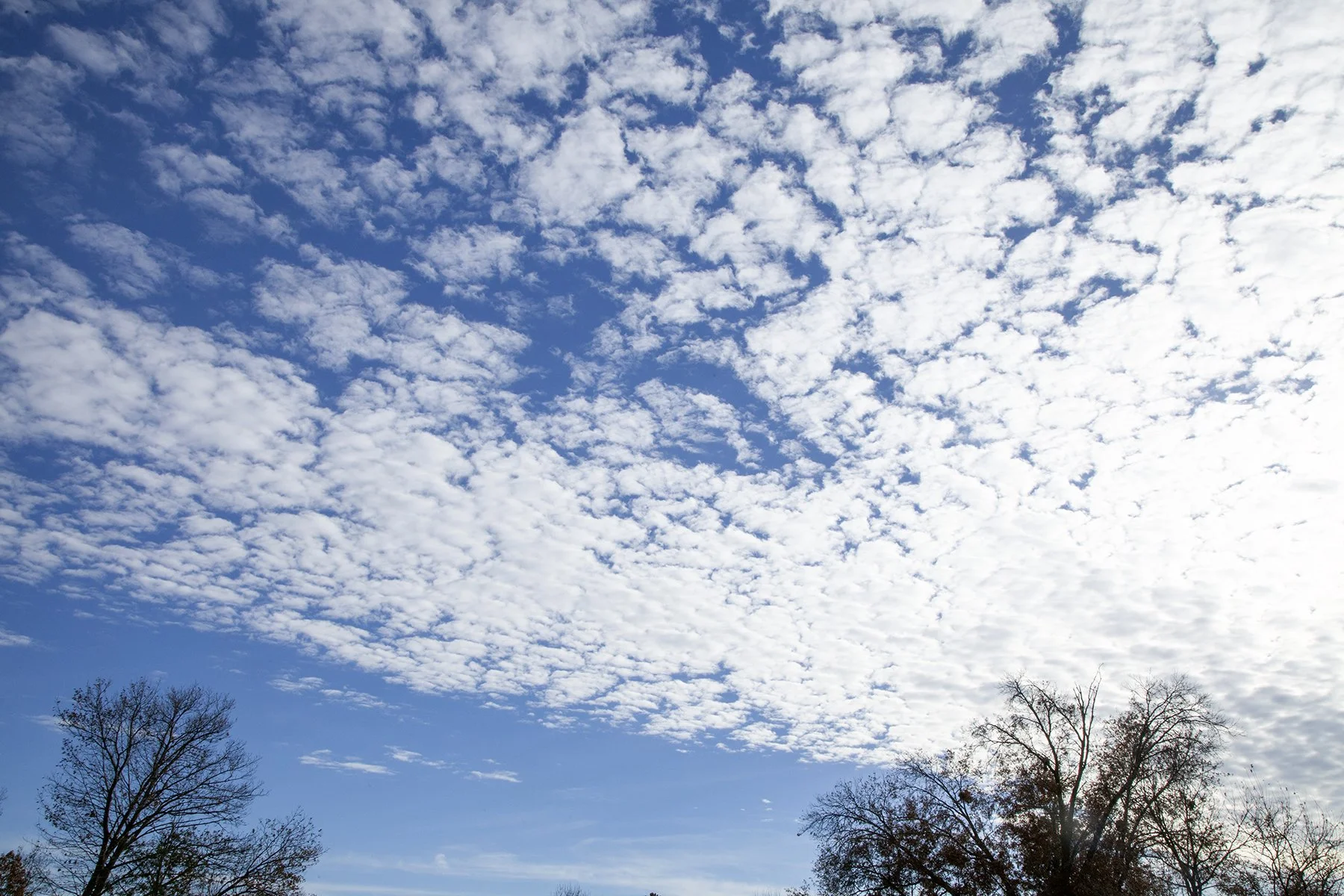
Altocumulus stratiformis
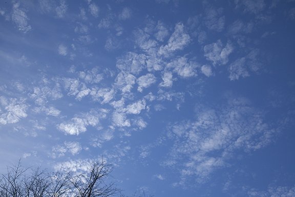
Altocumulus floccus

Altocumulus floccus are in an open cell formation.

Altocumulus floccus on top and Altocumulus undulatus at the bottom of the photo. A CONTRAIL (Condensation Trail) is on the right.
Altocumulus stratiformis form in a broad layer with little vertical extent.

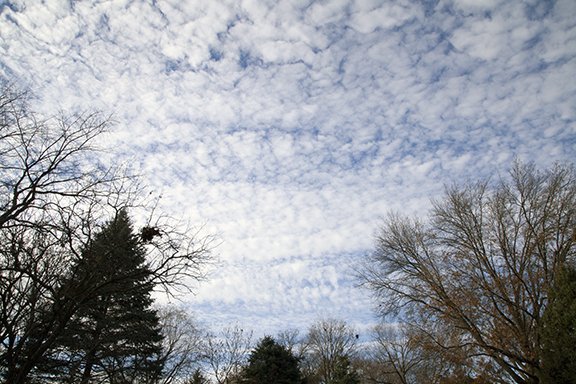
Altocumulus stratiformis with open and closed cloud cells and little vertical extent.

Altocumulus stratiformis have cells in a broad layer with little vertical extent.